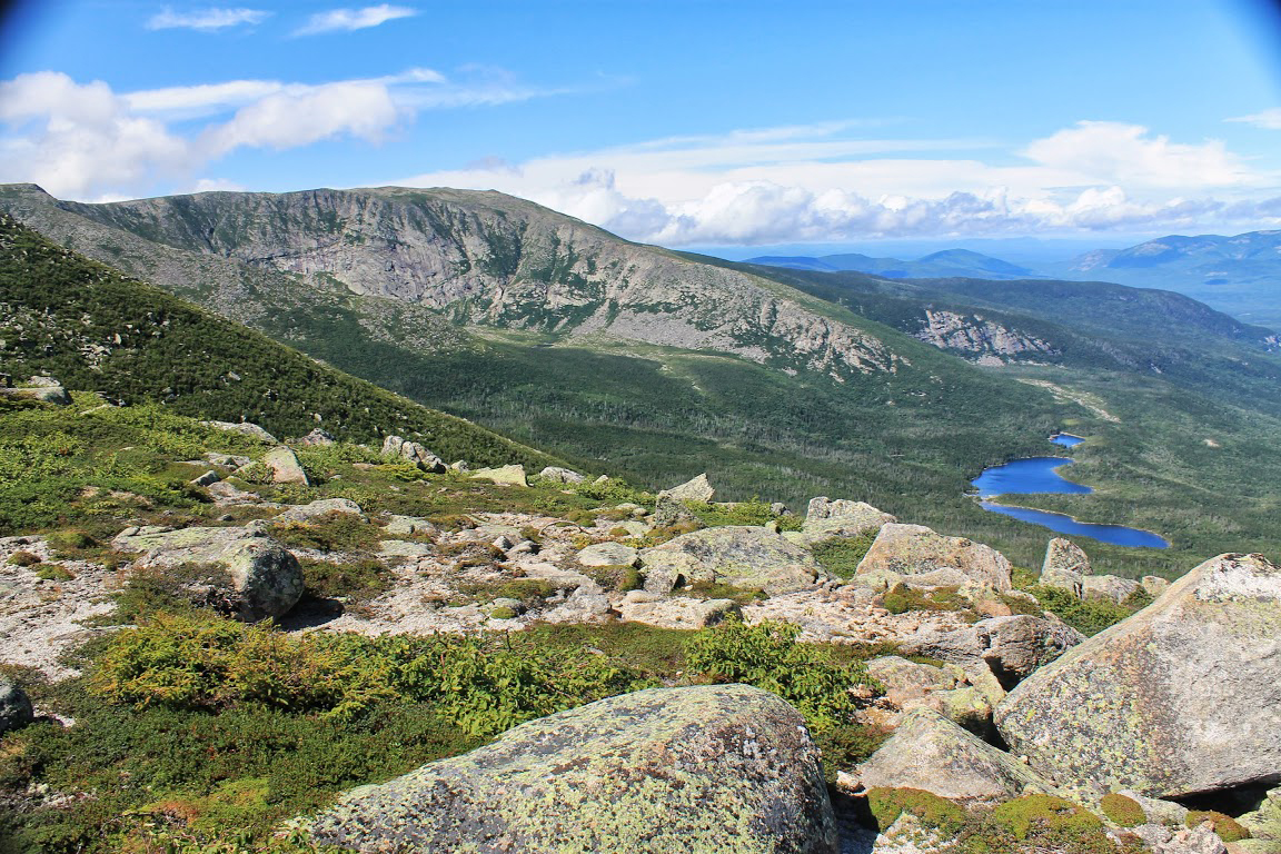
Appalachian Trail
It’s the longest hiking-only footpath on earth—2,193 green and rocky miles. The Appalachian Trail rambles through 14 states from Springer Mountain, Georgia to the stony heights of Katahdin, Maine’s highest peak. Hike it all and you’ll have climbed up and down 464,500 feet.
Maine’s AT
282 miles of the AT are in Maine, says the Appalachian Trail Conservancy. These are some of the most challenging miles of the entire route. But Maine’s AT offers easier hikes as well. Depending on where you go, you’ll find scenic summits, tight, sun-dappled paths, and brooks and ponds so lonesome it may just be you, your companions, and that noisy squirrel on the left.
Be prepared, though. Many Maine sections are in mountainous or remote areas. Check the Appalachian Trail Conservancy website for information on gear, appropriate trail use, possible facilities closures and safety measures.
Day Hikes on Maine’s Appalachian Trail
Here are some day hikes the Conservancy recommends along Maine’s AT.
Maine’s three major sections of the Trail offers additional adventures: The western section of Maine’s AT roams through Grafton Notch State Park in the Mahoosucs Range, a stunning part of the White Mountains on the border with New Hampshire. Hikers looking for short and medium-length jaunts can access the trail from inside the park.
In the central section of Maine’s AT is the 36,000-acre Bigelow Preserve. It includes the entire Bigelow Range, a compact group of seven summits, several over 4,000 feet. Hiking the range can be hard, as some trails are almost vertical. But the rewards include spectacular views and the chance to summit several peaks in the same day.
The eastern section of Maine’s AT ends atop Katahdin. Hikers planning to climb Katahdin or hike elsewhere in Baxter State Park should check with the park or with the Maine Appalachian Trail Club. Folks wanting a shorter trip within the region should consider White Cap Mountain, which offers views of Katahdin in the distance.


